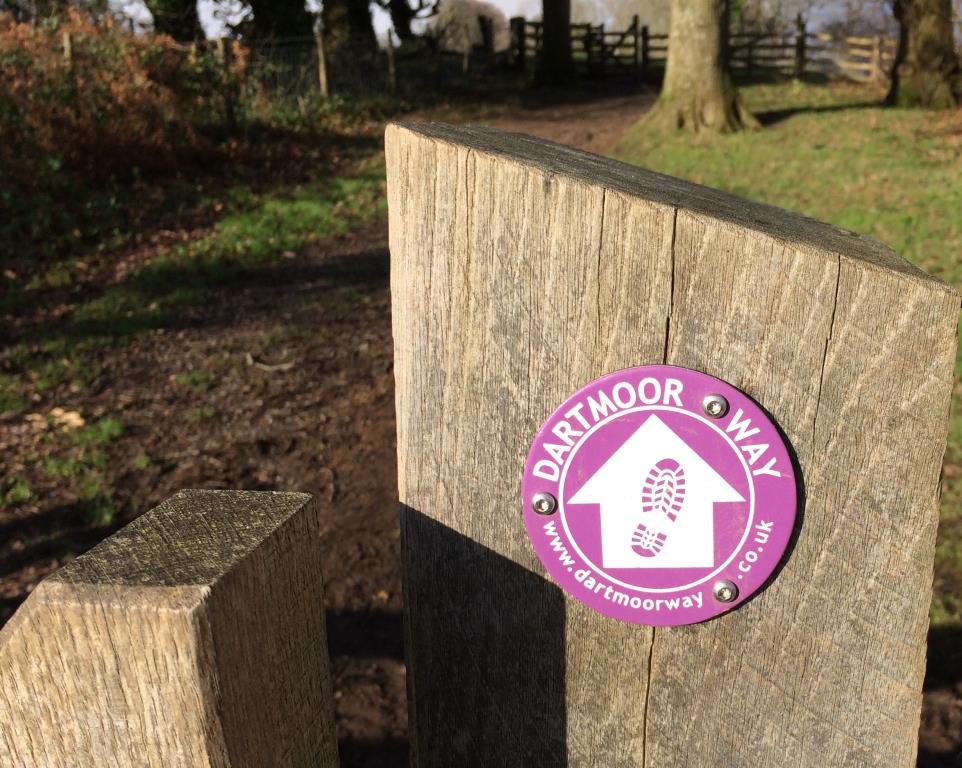
The Dartmoor Way is a 100-mile circular route that links hamlets, villages and towns around the moor. It was designed to deliver tourists to the towns and villages along the route such as Okehampton, Moretonhampstead, Chagford, Bovey Tracey, Ashburton, Buckfastleigh, Ivybridge, Yelveton and Tavistock. The old signage was not up to standard and the route was removed from Ordnance Survey mapping several years ago because of the lack of way markers; a change in OS policy meant that the only way-marked routes could be shown on their maps. One of the objectives of the project was to reinstate the route back on the OS mapping as a named route. The original signage left a lot to be desired, with a distinct lack of information coupled with the need to follow the route using a map.
The new markers and downloadable PDF route description have made the route more accessible to all without the need for map reading. This project completed a circular route around the whole moor and contributes to the Health and Wellbeing strategy of the Government.